
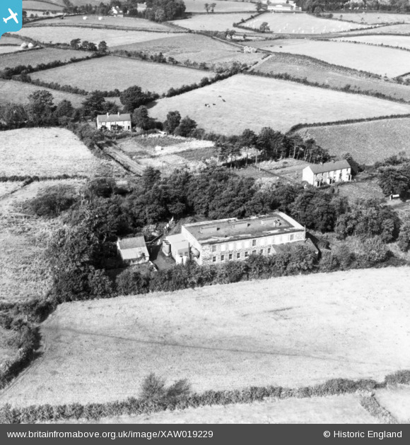
XAW019229 NORTHERN IRELAND (1948). William Clark and Sons Ltd, Upperlands, Magherafelt, Northern Ireland, 1948. Oblique aerial photograph taken facing North/West.
© Copyright OpenStreetMap contributors and licensed by the OpenStreetMap Foundation. 2026. Cartography is licensed as CC BY-SA.
Nearby Images (5)
XAW019229

XAW019233

XAW019230

XAW019231

XAW019232

Details
| Title | [XAW019229] William Clark and Sons Ltd, Upperlands, Magherafelt, Northern Ireland, 1948. Oblique aerial photograph taken facing North/West. |
| Reference | XAW019229 |
| Date | 25-September-1948 |
| Link | |
| Place name | UPPERLANDS |
| Parish | NORTHERN IRELAND |
| District | |
| Country | NORTHERN IRELAND |
| Easting / Northing | 103423, 563492 |
| Longitude / Latitude | -6.625351, 54.87796 |
| National Grid Reference |
Pins
Be the first to add a comment to this image!