
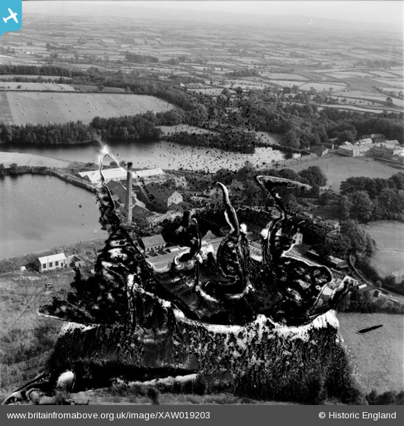
XAW019203 NORTHERN IRELAND (1948). William Clark & Sons Ltd., Upperlands, Magherafelt, Northern Ireland, 1948. Oblique aerial photograph taken facing East. This image has been produced from a damaged negative.
© Copyright OpenStreetMap contributors and licensed by the OpenStreetMap Foundation. 2026. Cartography is licensed as CC BY-SA.
Nearby Images (13)
XAW019203

XAW019204

XAW019207

XAW019206

XAW019208

XAW019209

XAW019205

XAW019210

XAW019214

XAW019211

XAW019213

XAW019212

XAW019235

Details
| Title | [XAW019203] William Clark & Sons Ltd., Upperlands, Magherafelt, Northern Ireland, 1948. Oblique aerial photograph taken facing East. This image has been produced from a damaged negative. |
| Reference | XAW019203 |
| Date | 25-September-1948 |
| Link | |
| Place name | UPPERLANDS |
| Parish | NORTHERN IRELAND |
| District | |
| Country | NORTHERN IRELAND |
| Easting / Northing | 102324, 564193 |
| Longitude / Latitude | -6.643144, 54.883588 |
| National Grid Reference |
Pins
Be the first to add a comment to this image!