
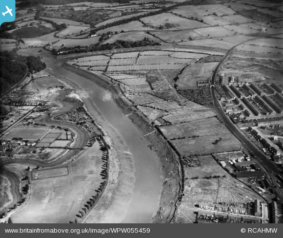
WPW055459 WALES (1937). View of Shaftesbury area of Newport showing river, park, allotments and sports ground, oblique aerial view. 5"x4" black and white glass plate negative.
© Copyright OpenStreetMap contributors and licensed by the OpenStreetMap Foundation. 2026. Cartography is licensed as CC BY-SA.
Nearby Images (4)
WPW055456

WPW055457

WPW055458

WPW055459

Details
| Title | [WPW055459] View of Shaftesbury area of Newport showing river, park, allotments and sports ground, oblique aerial view. 5"x4" black and white glass plate negative. |
| Reference | WPW055459 |
| Date | 15-September-1937 |
| Link | Coflein Archive Item 6370131 |
| Place name | |
| Parish | |
| District | |
| Country | WALES |
| Easting / Northing | 331383, 189134 |
| Longitude / Latitude | -2.9907336562406, 51.596394975746 |
| National Grid Reference | ST314891 |
Pins
Be the first to add a comment to this image!