
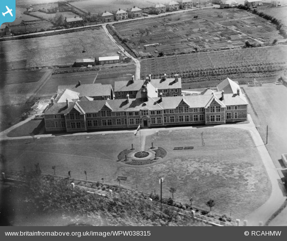
WPW038315 WALES (1932). View of the School for the Blind, Bridgend, oblique aerial view. 5"x4" black and white glass plate negative.
© Copyright OpenStreetMap contributors and licensed by the OpenStreetMap Foundation. 2025. Cartography is licensed as CC BY-SA.
Nearby Images (4)
WAW007010

WPW038313

WPW038315

WPW038316

Details
| Title | [WPW038315] View of the School for the Blind, Bridgend, oblique aerial view. 5"x4" black and white glass plate negative. |
| Reference | WPW038315 |
| Date | 1932 |
| Link | Coflein Archive Item 6370907 |
| Place name | |
| Parish | |
| District | |
| Country | WALES |
| Easting / Northing | 290816, 178943 |
| Longitude / Latitude | -3.5731073827518, 51.498384516545 |
| National Grid Reference | SS908789 |

