
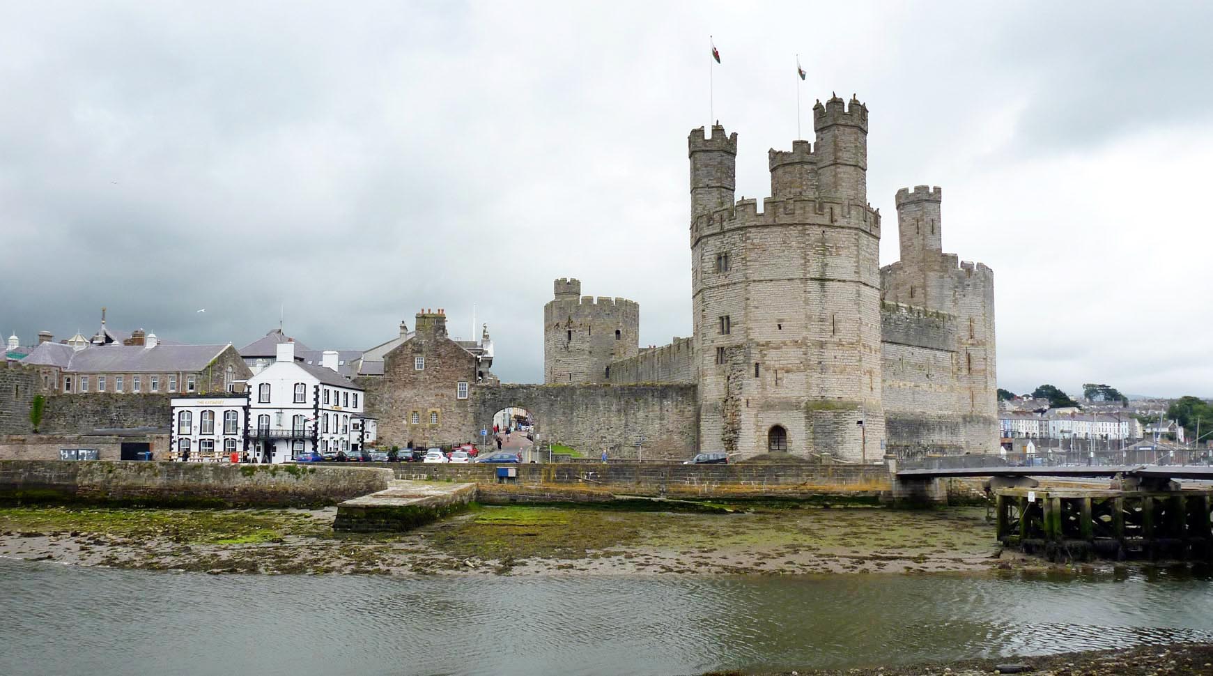
WAW050343 WALES (1953). General view of Caernarfon showing Ysgol Maesincla school and new housing

© Copyright OpenStreetMap contributors and licensed by the OpenStreetMap Foundation. 2026. Cartography is licensed as CC BY-SA.
Nearby Images (30)
WAW003594

WAW003595

WAW050322

WAW050323

WAW050324

WAW050325

WAW050326

WAW050327

WAW050328

WAW050329

WAW050330

WAW050331

WAW050332

WAW050333

WAW050334

WAW050335

WAW050336

WAW050337

WAW050338

WAW050339

WAW050341

WAW050342

WAW050343

WAW050344

WPW045186

WPW045187

WPW045188

WPW045189

WPW006615

WPW006617

Details
| Title | [WAW050343] General view of Caernarfon showing Ysgol Maesincla school and new housing |
| Reference | WAW050343 |
| Date | 1953 |
| Link | Coflein Archive Item 6414725 |
| Place name | |
| Parish | |
| District | |
| Country | WALES |
| Easting / Northing | 247862, 362821 |
| Longitude / Latitude | -4.2747579764211, 53.140494843476 |
| National Grid Reference | SH479628 |
Pins

gBr |
Saturday 28th of January 2017 05:46:24 PM | |

Class31 |
Wednesday 6th of May 2015 02:14:11 PM | |
|
Class31 |
Wednesday 6th of May 2015 02:13:44 PM | |
|
Class31 |
Wednesday 6th of May 2015 02:12:46 PM | |
|
Class31 |
Wednesday 6th of May 2015 02:11:10 PM | |
|
Class31 |
Wednesday 6th of May 2015 02:10:48 PM |
User Comment Contributions
Caernarfon Castle |

Alan McFaden |
Monday 17th of November 2014 06:37:32 PM |