
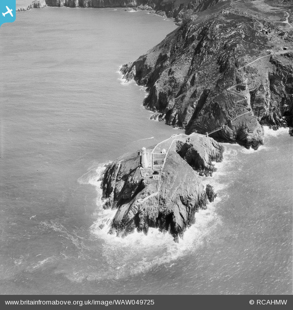
WAW049725 WALES (1953). View of South Stack Island and lighthouse, Holyhead
© Copyright OpenStreetMap contributors and licensed by the OpenStreetMap Foundation. 2026. Cartography is licensed as CC BY-SA.
Nearby Images (11)
WAW031488

WAW031489

WAW031490

WAW031491

WAW031492

WAW031493

WAW031494

WAW049723

WAW049724

WAW049725

WAW049726

Details
| Title | [WAW049725] View of South Stack Island and lighthouse, Holyhead |
| Reference | WAW049725 |
| Date | 1953 |
| Link | Coflein Archive Item 6414684 |
| Place name | |
| Parish | |
| District | |
| Country | WALES |
| Easting / Northing | 220170, 382250 |
| Longitude / Latitude | -4.6993013561762, 53.306342197426 |
| National Grid Reference | SH202823 |
