
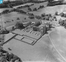
WAW038532 WALES (1950). View of Chirk Castle

© Copyright OpenStreetMap contributors and licensed by the OpenStreetMap Foundation. 2026. Cartography is licensed as CC BY-SA.
Nearby Images (8)
WAW008010

WAW008011

WAW008012

WAW008013

WAW008014

WAW038531

WAW038532

WAW038533

Details
| Title | [WAW038532] View of Chirk Castle |
| Reference | WAW038532 |
| Date | 1950 |
| Link | Coflein Archive Item 6414456 |
| Place name | |
| Parish | |
| District | |
| Country | WALES |
| Easting / Northing | 326855, 338097 |
| Longitude / Latitude | -3.0884090520671, 52.934966744768 |
| National Grid Reference | SJ269381 |
Pins
 |

thetreehunter |
Saturday 3rd of January 2015 12:07:52 PM |
 |
AndrewGVT |
Saturday 26th of April 2014 11:37:12 AM |
|
AndrewGVT |
Saturday 26th of April 2014 11:31:03 AM |
User Comment Contributions
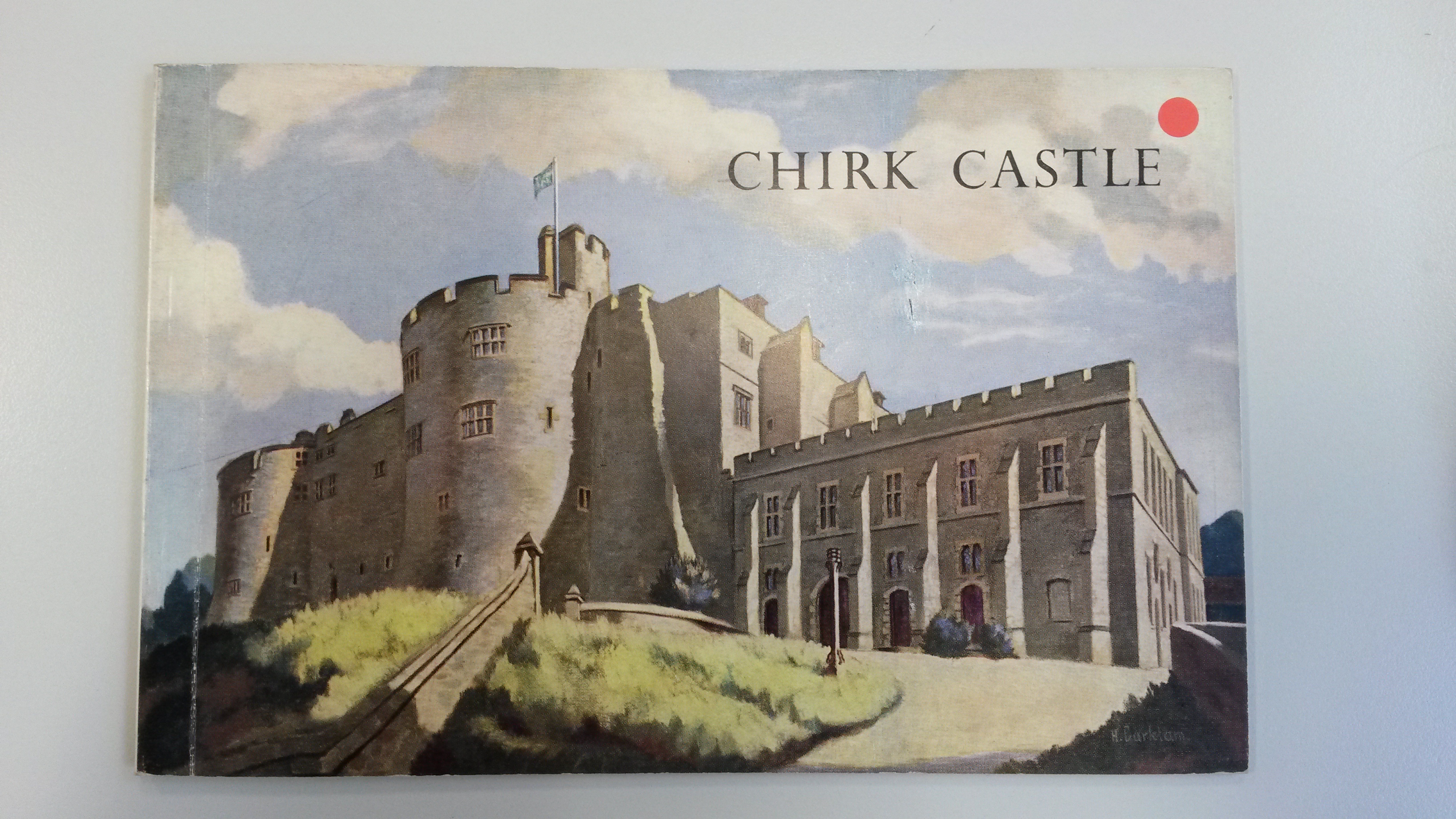
I have just found this Aerofilms image used on the back cover of a small publication, Chirk Castle: An illustrated Survey of the Historic Home of the Myddleton Family, published by The Pilgrim Press Ltd in the 1950s or '60s I guess (unfortunately undated). Shown is a shot of the front cover. |
DavidP |
Wednesday 3rd of August 2016 12:13:03 PM |
Chirk Castle on Offas Dyke.Looking west towards Dyke behind castle. |
thetreehunter |
Saturday 3rd of January 2015 11:57:23 AM |