
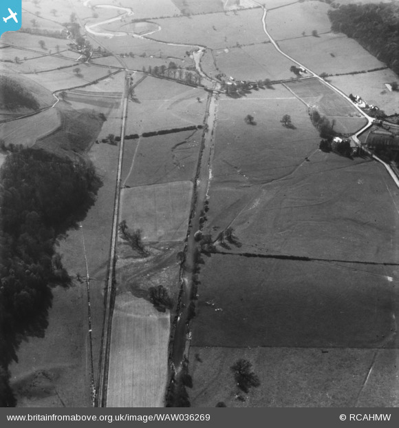
WAW036269 WALES. View of the Tanat valley showing railway and Llangedwyn Bridge. Oblique aerial photograph.
© Copyright OpenStreetMap contributors and licensed by the OpenStreetMap Foundation. 2025. Cartography is licensed as CC BY-SA.
Nearby Images (10)
WAW036269

WAW036270

WAW036271

WAW036272

WAW036273

WAW036274

WAW038481

WAW038482

WAW038483

WAW038484

Details
| Title | [WAW036269] View of the Tanat valley showing railway and Llangedwyn Bridge. Oblique aerial photograph. |
| Reference | WAW036269 |
| Date | |
| Link | Coflein Archive Item 6423499 |
| Place name | |
| Parish | |
| District | |
| Country | WALES |
| Easting / Northing | 316510, 324060 |
| Longitude / Latitude | -3.238707416493, 52.807288572549 |
| National Grid Reference | SJ165241 |
Pins
Be the first to add a comment to this image!