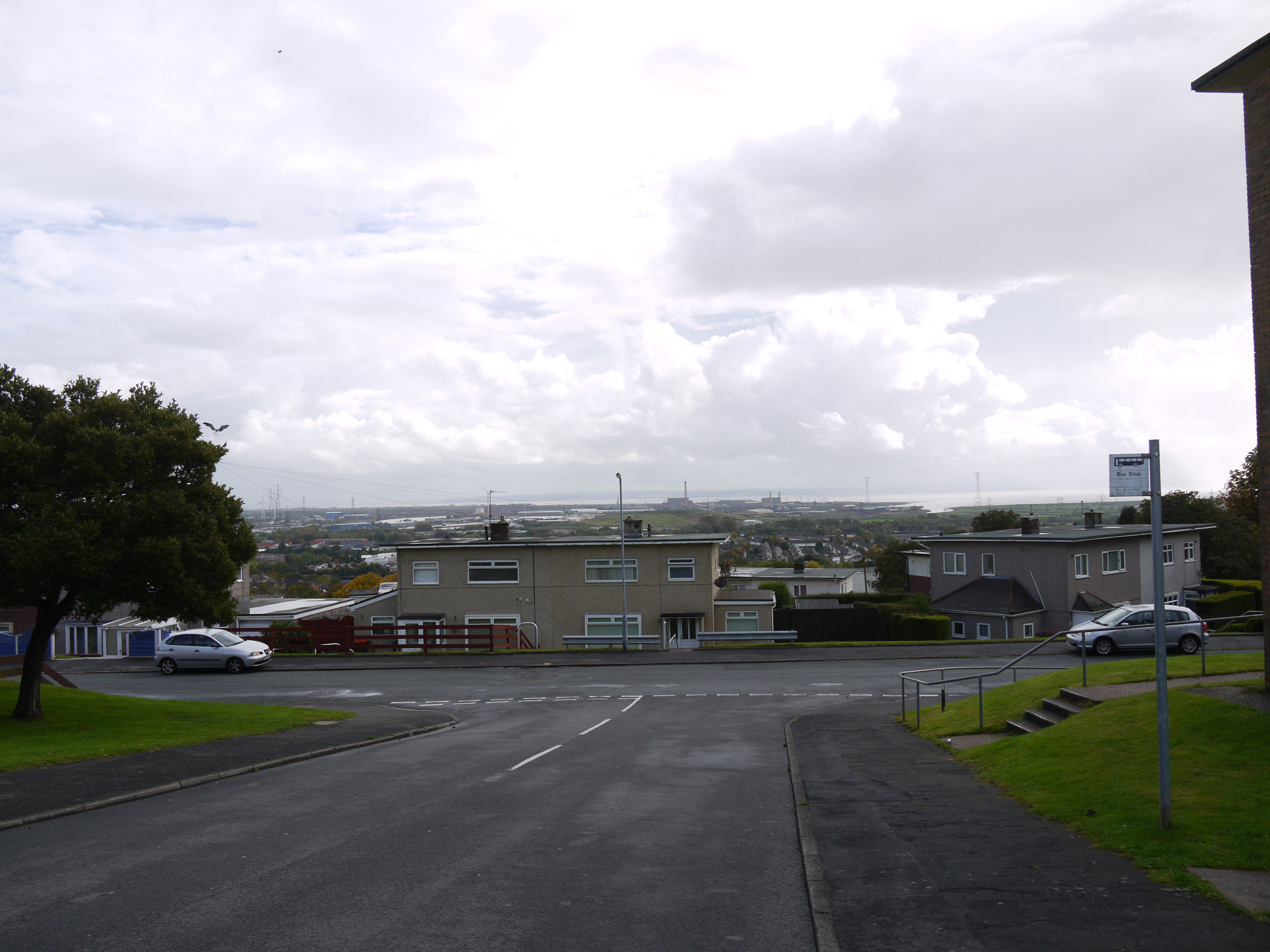
WAW031654 WALES (1950). View of Gaer housing estate showing newly built houses in 1950

© Copyright OpenStreetMap contributors and licensed by the OpenStreetMap Foundation. 2026. Cartography is licensed as CC BY-SA.
Nearby Images (19)
WAW011882

WAW031651

WAW031652

WAW031653

WAW031654

WAW031655

WAW031656

WAW031657

WAW031658

WAW031659

WAW031660

WAW031661

WAW031662

WAW031663

WAW031664

WAW031665

WAW031666

WAW031667

WAW031668

Details
| Title | [WAW031654] View of Gaer housing estate showing newly built houses in 1950 |
| Reference | WAW031654 |
| Date | 1950 |
| Link | Coflein Archive Item 6414329 |
| Place name | |
| Parish | |
| District | |
| Country | WALES |
| Easting / Northing | 329320, 186730 |
| Longitude / Latitude | -3.0200313338699, 51.574525589222 |
| National Grid Reference | ST293867 |
Pins

Class31 |
Wednesday 7th of October 2015 10:23:19 PM | |
|
Class31 |
Wednesday 7th of October 2015 10:21:51 PM | |
|
Class31 |
Wednesday 7th of October 2015 10:20:46 PM | |
|
Class31 |
Wednesday 7th of October 2015 10:20:05 PM | |
|
Class31 |
Wednesday 7th of October 2015 10:18:27 PM | |
|
Class31 |
Wednesday 7th of October 2015 10:16:57 PM | |
|
Class31 |
Wednesday 7th of October 2015 10:14:39 PM | |
|
Class31 |
Wednesday 7th of October 2015 10:12:42 PM | |
|
Class31 |
Wednesday 7th of October 2015 10:11:42 PM | |
|
Class31 |
Wednesday 7th of October 2015 10:10:27 PM | |
|
Class31 |
Wednesday 7th of October 2015 10:08:52 PM | |

Brian Wilkinson |
Monday 15th of September 2014 02:32:01 PM |