
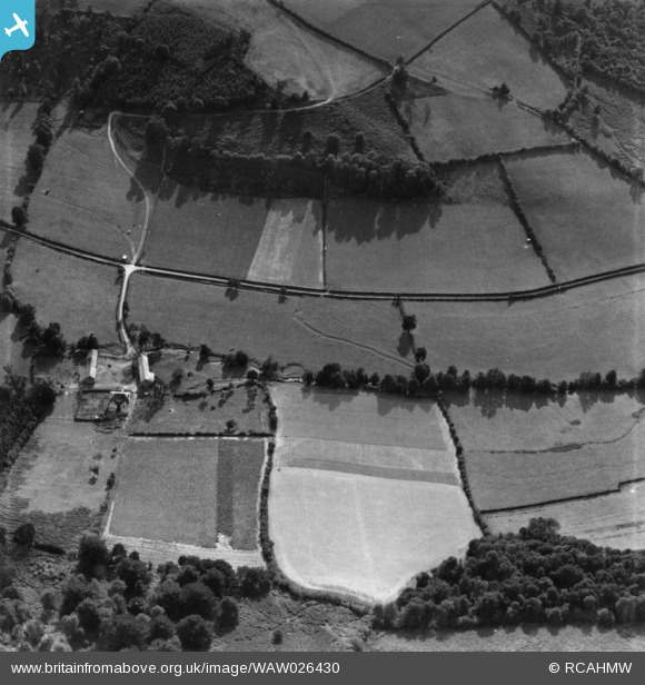
WAW026430 WALES (1949). View of Lugg valley showing Court Farm. Oblique aerial photograph, 5½" cut roll film.
© Copyright OpenStreetMap contributors and licensed by the OpenStreetMap Foundation. 2026. Cartography is licensed as CC BY-SA.
Nearby Images (2)
WAW026426

WAW026430

Details
| Title | [WAW026430] View of Lugg valley showing Court Farm. Oblique aerial photograph, 5½" cut roll film. |
| Reference | WAW026430 |
| Date | 8-September-1949 |
| Link | Coflein Archive Item 6422536 |
| Place name | |
| Parish | |
| District | |
| Country | WALES |
| Easting / Northing | 324669, 266226 |
| Longitude / Latitude | -3.1045509119915, 52.288608047078 |
| National Grid Reference | SO247662 |
Pins

Mike Holder |
Tuesday 20th of February 2018 01:17:59 PM |
