
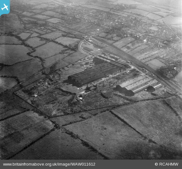
WAW011612 WALES (1947). View of Gowerton aluminium factory (with wartime camouflage)
© Copyright OpenStreetMap contributors and licensed by the OpenStreetMap Foundation. 2026. Cartography is licensed as CC BY-SA.
Nearby Images (14)
WAW011612
")
WAW011613
")
WAW011614
")
WAW011615
")
WAW011616
")
WAW011617
")
WAW011618
")
WAW011619

WAW011620

WAW011621
")
WAW011622
")
WAW011623
 showing workers leaving")
WAW011624
")
WAW011625
 showing workers leaving")
Details
| Title | [WAW011612] View of Gowerton aluminium factory (with wartime camouflage) |
| Reference | WAW011612 |
| Date | 6-October-1947 |
| Link | Coflein Archive Item 6413805 |
| Place name | |
| Parish | |
| District | |
| Country | WALES |
| Easting / Northing | 260210, 195930 |
| Longitude / Latitude | -4.0205719133216, 51.644303039159 |
| National Grid Reference | SS602959 |
Pins

Sparky |
Monday 31st of July 2017 07:06:45 AM | |

Class31 |
Saturday 10th of January 2015 09:52:00 PM | |
|
Class31 |
Saturday 10th of January 2015 09:51:17 PM | |
|
Class31 |
Saturday 10th of January 2015 09:50:06 PM | |
|
Class31 |
Saturday 10th of January 2015 09:49:14 PM | |
|
Class31 |
Saturday 10th of January 2015 09:48:39 PM | |
|
Class31 |
Saturday 10th of January 2015 09:47:34 PM | |
|
Class31 |
Saturday 10th of January 2015 09:43:44 PM |


