
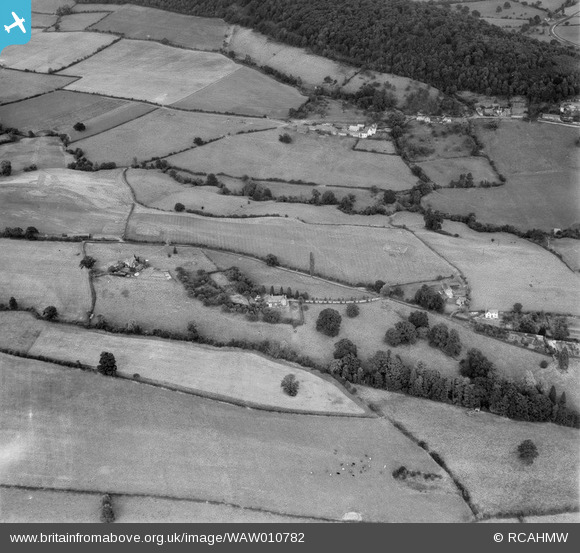
WAW010782 WALES (1947). View showing Summerleas, Dixton, labelled "S.W.B. Summers, Monmouth".
© Copyright OpenStreetMap contributors and licensed by the OpenStreetMap Foundation. 2026. Cartography is licensed as CC BY-SA.
Nearby Images (12)
WAW010779

WAW010780

WAW010781

WAW010782

WAW010783

WAW010784

WAW010785

WAW010786

WAW010787

WAW010788

WAW010789

WAW010790

Details
| Title | [WAW010782] View showing Summerleas, Dixton, labelled "S.W.B. Summers, Monmouth". |
| Reference | WAW010782 |
| Date | 17-September-1947 |
| Link | Coflein Archive Item 6413759 |
| Place name | |
| Parish | |
| District | |
| Country | WALES |
| Easting / Northing | 351593, 214193 |
| Longitude / Latitude | -2.7024394425321, 51.823813180519 |
| National Grid Reference | SO516142 |
Pins

Class31 |
Sunday 27th of April 2014 10:45:03 PM |
