
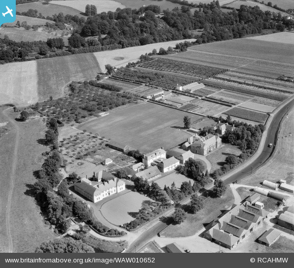
WAW010652 WALES (1947). View of Monmouthshire Agricultural Institution, Rhadyr
© Copyright OpenStreetMap contributors and licensed by the OpenStreetMap Foundation. 2026. Cartography is licensed as CC BY-SA.
Nearby Images (10)
WAW010646

WAW010647

WAW010648

WAW010649

WAW010650

WAW010651

WAW010652

WAW010653

WAW010654

WAW010655

Details
| Title | [WAW010652] View of Monmouthshire Agricultural Institution, Rhadyr |
| Reference | WAW010652 |
| Date | 1-September-1947 |
| Link | Coflein Archive Item 6413749 |
| Place name | |
| Parish | |
| District | |
| Country | WALES |
| Easting / Northing | 336770, 201880 |
| Longitude / Latitude | -2.9152695648917, 51.711626476187 |
| National Grid Reference | SO368019 |
Pins
Be the first to add a comment to this image!