
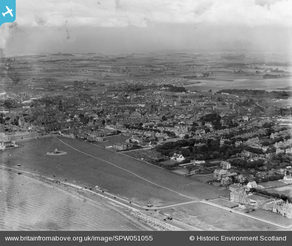
SPW051055 SCOTLAND (1936). Ayr, general view, showing Low Green and Ayr Racecourse. An oblique aerial photograph taken facing east.
© Copyright OpenStreetMap contributors and licensed by the OpenStreetMap Foundation. 2026. Cartography is licensed as CC BY-SA.
Nearby Images (2)
SPW051055

SPW019512

Details
| Title | [SPW051055] Ayr, general view, showing Low Green and Ayr Racecourse. An oblique aerial photograph taken facing east. |
| Reference | SPW051055 |
| Date | 1936 |
| Link | NRHE Collection item 1258078 |
| Place name | |
| Parish | AYR |
| District | KYLE AND CARRICK |
| Country | SCOTLAND |
| Easting / Northing | 233756, 621770 |
| Longitude / Latitude | -4.6296842657942, 55.461466047328 |
| National Grid Reference | NS338218 |
