
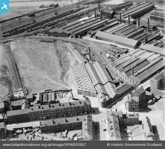
SPW050817 SCOTLAND (1936). British Ropes Ltd. Rutherglen Works, Lloyd Street, Glasgow. An oblique aerial photograph taken facing north-west.
© Copyright OpenStreetMap contributors and licensed by the OpenStreetMap Foundation. 2026. Cartography is licensed as CC BY-SA.
Nearby Images (18)
SPW050817

SPW050818

SPW050819

SPW050820

SPW050821

SPW050822

SPW050823

SAW029935

SAW029936

SAW029937

SAW029938

SAW029939

SAW029940

SAW029941

SAW029942

SAW029943

SAW029944

SAW029945

Details
| Title | [SPW050817] British Ropes Ltd. Rutherglen Works, Lloyd Street, Glasgow. An oblique aerial photograph taken facing north-west. |
| Reference | SPW050817 |
| Date | 1936 |
| Link | NRHE Collection item 1257836 |
| Place name | |
| Parish | RUTHERGLEN (SOUTH LANARKSHIRE) |
| District | CITY OF GLASGOW |
| Country | SCOTLAND |
| Easting / Northing | 261653, 662273 |
| Longitude / Latitude | -4.2091926792117, 55.83384978648 |
| National Grid Reference | NS617623 |
Pins

Billy Turner |
Friday 5th of June 2015 02:37:39 PM |

User Comment Contributions
Where is Farmeloan Road leading up to Rutherglen Main Street ? |

Garry |
Wednesday 29th of October 2014 04:17:21 PM |