
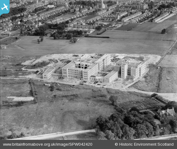
SPW042420 SCOTLAND (1933). Royal Infirmary, Foresterhill Road, Aberdeen. An oblique aerial photograph taken facing south.
© Copyright OpenStreetMap contributors and licensed by the OpenStreetMap Foundation. 2025. Cartography is licensed as CC BY-SA.
Nearby Images (4)
SPW042419

SPW042420

SPW042421

SPW060044

Details
| Title | [SPW042420] Royal Infirmary, Foresterhill Road, Aberdeen. An oblique aerial photograph taken facing south. |
| Reference | SPW042420 |
| Date | 1933 |
| Link | NRHE Collection item 1257942 |
| Place name | |
| Parish | ABERDEEN |
| District | CITY OF ABERDEEN |
| Country | SCOTLAND |
| Easting / Northing | 391930, 807110 |
| Longitude / Latitude | -2.1334121603078, 57.154976126018 |
| National Grid Reference | NJ919071 |
Pins
Be the first to add a comment to this image!