
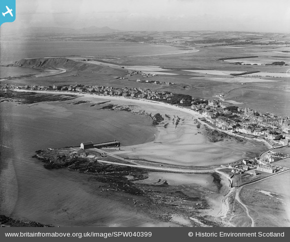
SPW040399 SCOTLAND (1932). Elie, general view, showing The Granary, Elie Harbour and Elie Golf Course. An oblique aerial photograph taken facing north-west.
© Copyright OpenStreetMap contributors and licensed by the OpenStreetMap Foundation. 2026. Cartography is licensed as CC BY-SA.
Nearby Images (3)
SPW040399

SPW040351

SPW040352

Details
| Title | [SPW040399] Elie, general view, showing The Granary, Elie Harbour and Elie Golf Course. An oblique aerial photograph taken facing north-west. |
| Reference | SPW040399 |
| Date | 1932 |
| Link | NRHE Collection item 1257466 |
| Place name | |
| Parish | ELIE |
| District | NORTH EAST FIFE |
| Country | SCOTLAND |
| Easting / Northing | 348800, 700050 |
| Longitude / Latitude | -2.8250873275354, 56.190385382638 |
| National Grid Reference | NO488001 |
Pins
Be the first to add a comment to this image!