
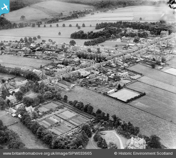
SPW033665 SCOTLAND (1930). Auchterarder, general view, showing High Street and Montrose Road. An oblique aerial photograph taken facing south.
© Copyright OpenStreetMap contributors and licensed by the OpenStreetMap Foundation. 2025. Cartography is licensed as CC BY-SA.
Nearby Images (3)
SPW033665

SPW033663

SPW033666

Details
| Title | [SPW033665] Auchterarder, general view, showing High Street and Montrose Road. An oblique aerial photograph taken facing south. |
| Reference | SPW033665 |
| Date | 1930 |
| Link | NRHE Collection item 1257011 |
| Place name | |
| Parish | AUCHTERARDER |
| District | PERTH AND KINROSS |
| Country | SCOTLAND |
| Easting / Northing | 294708, 712932 |
| Longitude / Latitude | -3.7015825791533, 56.297198798493 |
| National Grid Reference | NN947129 |
Pins
Be the first to add a comment to this image!