
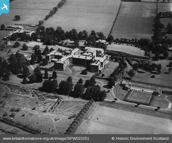
SPW022251 SCOTLAND (1928). Crichton Royal Institution, Bankend Road, Dumfries. An oblique aerial photograph taken facing north-east. This image has been produced from a print.
© Copyright OpenStreetMap contributors and licensed by the OpenStreetMap Foundation. 2026. Cartography is licensed as CC BY-SA.
Nearby Images (3)
SPR006228

SPW022251

SPW022249

Details
| Title | [SPW022251] Crichton Royal Institution, Bankend Road, Dumfries. An oblique aerial photograph taken facing north-east. This image has been produced from a print. |
| Reference | SPW022251 |
| Date | 1928 |
| Link | NRHE Collection item 1315402 |
| Place name | |
| Parish | DUMFRIES |
| District | NITHSDALE |
| Country | SCOTLAND |
| Easting / Northing | 298102, 574396 |
| Longitude / Latitude | -3.5952884659014, 55.05352290461 |
| National Grid Reference | NX981744 |
Pins
Be the first to add a comment to this image!