
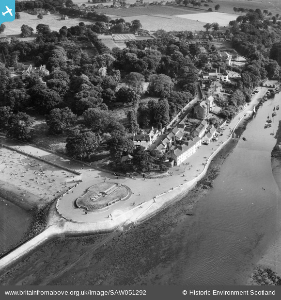
SAW051292 SCOTLAND (1953). Cramond, general view, showing Foreshore and Cramond Glebe Road. An oblique aerial photograph taken facing south.
© Copyright OpenStreetMap contributors and licensed by the OpenStreetMap Foundation. 2026. Cartography is licensed as CC BY-SA.
Details
| Title | [SAW051292] Cramond, general view, showing Foreshore and Cramond Glebe Road. An oblique aerial photograph taken facing south. |
| Reference | SAW051292 |
| Date | 1953 |
| Link | NRHE Collection item 1297953 |
| Place name | |
| Parish | EDINBURGH (EDINBURGH, CITY OF) |
| District | CITY OF EDINBURGH |
| Country | SCOTLAND |
| Easting / Northing | 318976, 677067 |
| Longitude / Latitude | -3.2986211826537, 55.979782264361 |
| National Grid Reference | NT190771 |
Pins

Starcross |
Friday 8th of July 2016 11:10:37 PM | |
|
stewg |
Monday 6th of October 2014 10:10:28 PM | |
|
stewg |
Monday 6th of October 2014 10:09:31 PM | |
|
stewg |
Monday 6th of October 2014 10:08:49 PM | |
*Cramond |
smartie148 |
Saturday 27th of March 2021 04:37:30 PM |
|
Brian Wilkinson |
Friday 31st of January 2014 03:52:12 PM |