
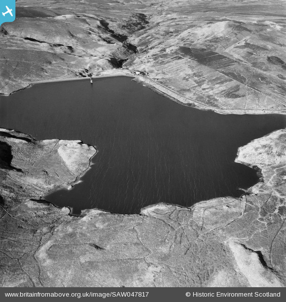
SAW047817 SCOTLAND (1952). Burncrooks Reservoir, Kilpatrick Hills. An oblique aerial photograph taken facing north.
© Copyright OpenStreetMap contributors and licensed by the OpenStreetMap Foundation. 2026. Cartography is licensed as CC BY-SA.
Nearby Images (2)
SAW047815

 0°
0m
0°
0m
SAW047817
 0°
0m
0°
0m
Details
| Title | [SAW047817] Burncrooks Reservoir, Kilpatrick Hills. An oblique aerial photograph taken facing north. |
| Reference | SAW047817 |
| Date | 1952 |
| Link | NRHE Collection item 1297822 |
| Place name | |
| Parish | KILLEARN |
| District | STIRLING |
| Country | SCOTLAND |
| Easting / Northing | 248686, 679157 |
| Longitude / Latitude | -4.4255052202215, 55.981541688231 |
| National Grid Reference | NS487792 |
Pins
Be the first to add a comment to this image!