
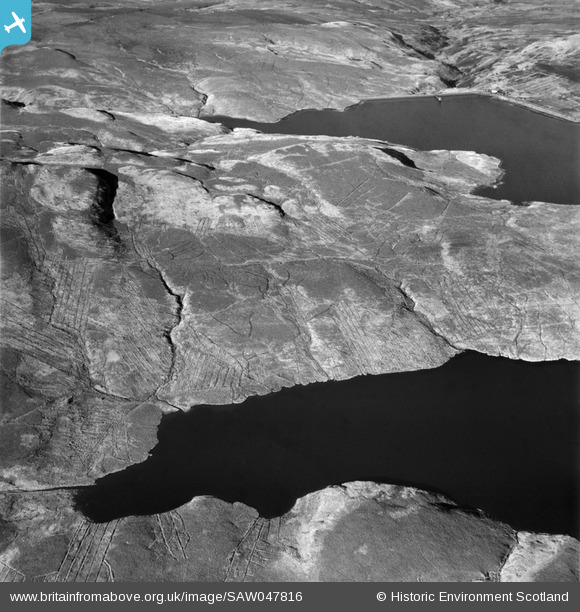
SAW047816 SCOTLAND (1952). Kilmannan Reservoir and Burncrooks Reservoir, Kilpatrick Hills. An oblique aerial photograph taken facing north.
© Copyright OpenStreetMap contributors and licensed by the OpenStreetMap Foundation. 2026. Cartography is licensed as CC BY-SA.
Nearby Images (2)
SAW047816

SAW047818

Details
| Title | [SAW047816] Kilmannan Reservoir and Burncrooks Reservoir, Kilpatrick Hills. An oblique aerial photograph taken facing north. |
| Reference | SAW047816 |
| Date | 1952 |
| Link | NRHE Collection item 1297821 |
| Place name | |
| Parish | DUMBARTON |
| District | DUMBARTON |
| Country | SCOTLAND |
| Easting / Northing | 247890, 678920 |
| Longitude / Latitude | -4.43811789586, 55.979162431184 |
| National Grid Reference | NS479789 |
Pins
Be the first to add a comment to this image!