
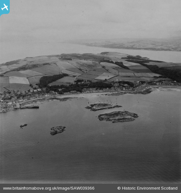
SAW039366 SCOTLAND (1951). Great Cumbrae Island, general view, showing Millport. An oblique aerial photograph taken facing north. This image has been produced from a print.
© Copyright OpenStreetMap contributors and licensed by the OpenStreetMap Foundation. 2026. Cartography is licensed as CC BY-SA.
Nearby Images (5)
SAW039366

SAR018809

SAR018810

SAR018811

SAR031666

Details
| Title | [SAW039366] Great Cumbrae Island, general view, showing Millport. An oblique aerial photograph taken facing north. This image has been produced from a print. |
| Reference | SAW039366 |
| Date | 1951 |
| Link | NRHE Collection item 1315285 |
| Place name | |
| Parish | CUMBRAE |
| District | CUNNINGHAME |
| Country | SCOTLAND |
| Easting / Northing | 216642, 655017 |
| Longitude / Latitude | -4.9221437636066, 55.753737787099 |
| National Grid Reference | NS166550 |
Pins
Be the first to add a comment to this image!