
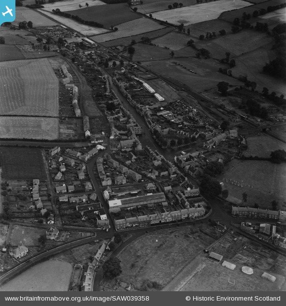
SAW039358 SCOTLAND (1951). Earlston, general view, showing Westfield Road and High Street. An oblique aerial photograph taken facing east. This image has been produced from a print.
© Copyright OpenStreetMap contributors and licensed by the OpenStreetMap Foundation. 2025. Cartography is licensed as CC BY-SA.
Nearby Images (2)
SAW039358

SAW039357

Details
| Title | [SAW039358] Earlston, general view, showing Westfield Road and High Street. An oblique aerial photograph taken facing east. This image has been produced from a print. |
| Reference | SAW039358 |
| Date | 1951 |
| Link | NRHE Collection item 1315284 |
| Place name | |
| Parish | EARLSTON |
| District | ETTRICK AND LAUDERDALE |
| Country | SCOTLAND |
| Easting / Northing | 357502, 638530 |
| Longitude / Latitude | -2.6751914910577, 55.638469541529 |
| National Grid Reference | NT575385 |
Pins

redmist |
Sunday 5th of June 2022 06:37:24 PM | |
|
redmist |
Sunday 5th of June 2022 06:35:42 PM |