
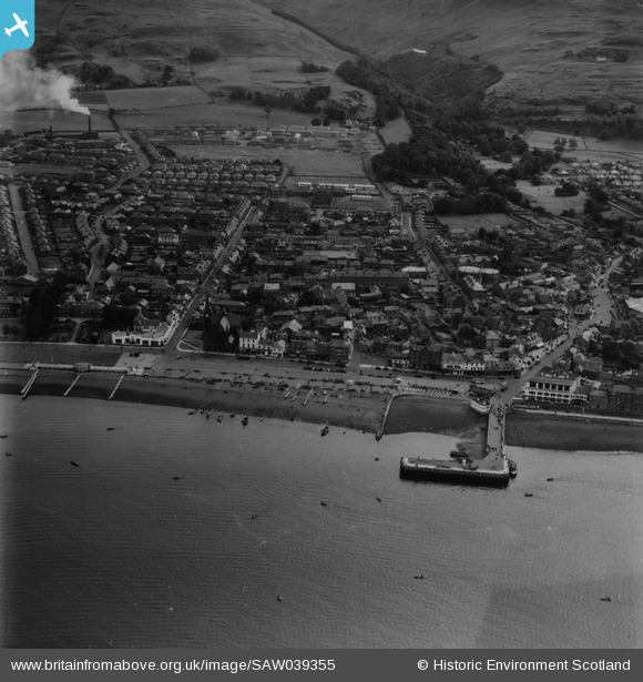
SAW039355 SCOTLAND (1951). Largs, general view, showing Largs Harbour and Nelson Street. An oblique aerial photograph taken facing east. This image has been produced from a print.
© Copyright OpenStreetMap contributors and licensed by the OpenStreetMap Foundation. 2026. Cartography is licensed as CC BY-SA.
Nearby Images (15)
SAW039355

SPW056873

SAW039354

SPW056876

SAW039353

SPW056879

SPW056878

SPW056877

SPW019554

SPW019556

SAR018808

SPW056881

SPW019553

SPW019555

SPW056880

Details
| Title | [SAW039355] Largs, general view, showing Largs Harbour and Nelson Street. An oblique aerial photograph taken facing east. This image has been produced from a print. |
| Reference | SAW039355 |
| Date | 1951 |
| Link | NRHE Collection item 1315282 |
| Place name | |
| Parish | LARGS |
| District | CUNNINGHAME |
| Country | SCOTLAND |
| Easting / Northing | 220260, 659560 |
| Longitude / Latitude | -4.8675605176132, 55.795867020112 |
| National Grid Reference | NS203596 |
Pins
Be the first to add a comment to this image!