
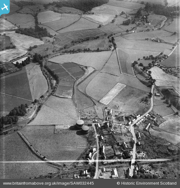
SAW032445 SCOTLAND (1950). Denny, general view, showing Denny Gasworks. An oblique aerial photograph taken facing east. This image has been produced from a crop marked negative.
© Copyright OpenStreetMap contributors and licensed by the OpenStreetMap Foundation. 2026. Cartography is licensed as CC BY-SA.
Nearby Images (5)
SAW032445

SAW032446

SAW032449

SAW032450

SAW032457

Details
| Title | [SAW032445] Denny, general view, showing Denny Gasworks. An oblique aerial photograph taken facing east. This image has been produced from a crop marked negative. |
| Reference | SAW032445 |
| Date | 1950 |
| Link | NRHE Collection item 1269824 |
| Place name | |
| Parish | DENNY |
| District | FALKIRK |
| Country | SCOTLAND |
| Easting / Northing | 281660, 682750 |
| Longitude / Latitude | -3.8988986046906, 56.023072591607 |
| National Grid Reference | NS817828 |
Pins
Be the first to add a comment to this image!