
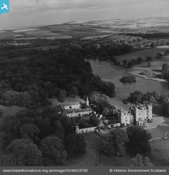
SAW019782 SCOTLAND (1948). Duns Castle and Hen Poo, Duns Castle Estate. An oblique aerial photograph taken facing north-east. This image has been produced from a print.
© Copyright OpenStreetMap contributors and licensed by the OpenStreetMap Foundation. 2026. Cartography is licensed as CC BY-SA.
Nearby Images (6)
SAW019781

SAW019782

SAW019785

SAW019783

SAW019784

SAW019786

Details
| Title | [SAW019782] Duns Castle and Hen Poo, Duns Castle Estate. An oblique aerial photograph taken facing north-east. This image has been produced from a print. |
| Reference | SAW019782 |
| Date | 1948 |
| Link | NRHE Collection item 1315090 |
| Place name | |
| Parish | DUNS |
| District | BERWICKSHIRE |
| Country | SCOTLAND |
| Easting / Northing | 377744, 654449 |
| Longitude / Latitude | -2.3548989161783, 55.782865749994 |
| National Grid Reference | NT777544 |
Pins
Be the first to add a comment to this image!