
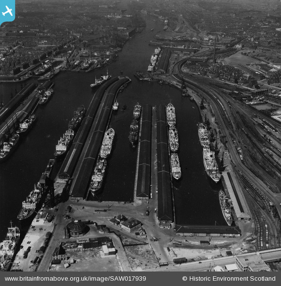
SAW017939 SCOTLAND (1948). Queen's Dock, Glasgow. An oblique aerial photograph taken facing west. This image has been produced from a print.
© Copyright OpenStreetMap contributors and licensed by the OpenStreetMap Foundation. 2026. Cartography is licensed as CC BY-SA.
Nearby Images (28)
SAW017939

SPW045884

SPW022179

SAR008788

SAR008790

SAR014705

SAR014707

SAR014709

SAR014713

SAR014774

SAR014826

SAR014832

SAR015079

SPW020708

SPW027217

SPW022182

SPW027219

SPW027226

SPW050835

SAW017940

SAW017941

SPW045891

SPW022184

SPW027221

SAW017938

SPW020707

SPW027218

SPW027220

Details
| Title | [SAW017939] Queen's Dock, Glasgow. An oblique aerial photograph taken facing west. This image has been produced from a print. |
| Reference | SAW017939 |
| Date | 1948 |
| Link | NRHE Collection item 1314857 |
| Place name | |
| Parish | GLASGOW (CITY OF GLASGOW) |
| District | CITY OF GLASGOW |
| Country | SCOTLAND |
| Easting / Northing | 256880, 665340 |
| Longitude / Latitude | -4.286960378577, 55.859996268992 |
| National Grid Reference | NS569653 |
Pins
Be the first to add a comment to this image!