
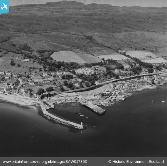
SAW017853 SCOTLAND (1948). Ardrishaig, general view, showing Ardrishaig Harbour and Crinan Canal. An oblique aerial photograph taken facing north-west. This image has been produced from a print.
© Copyright OpenStreetMap contributors and licensed by the OpenStreetMap Foundation. 2026. Cartography is licensed as CC BY-SA.
Nearby Images (2)
SAW017853

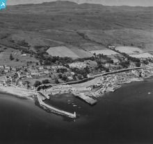
SAW017855

Details
| Title | [SAW017853] Ardrishaig, general view, showing Ardrishaig Harbour and Crinan Canal. An oblique aerial photograph taken facing north-west. This image has been produced from a print. |
| Reference | SAW017853 |
| Date | 1948 |
| Link | NRHE Collection item 1314800 |
| Place name | |
| Parish | SOUTH KNAPDALE |
| District | ARGYLL AND BUTE |
| Country | SCOTLAND |
| Easting / Northing | 185150, 685410 |
| Longitude / Latitude | -5.4471928440831, 56.013410359836 |
| National Grid Reference | NR852854 |
Pins
Be the first to add a comment to this image!
User Comment Contributions
Canals were an important element in the expansion of transport networks that powered the Industrial Revolution in Britain. The Crinan canal is nine miles long and was completed in 1801. It joins Ardrishaig on the edge of Loch Fyne in the East of the Knapdale peninsula, to Crinan which sits on the edge of the Sound of Jura in the West. It thus provides a short and safe route between the Clyde and the Inner Hebrides, allowing shipping to pass between the two without having to go round the Mull of Kintyre. |

AlMu |
Thursday 8th of May 2014 05:51:31 PM |