
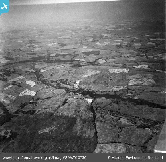
SAW010730 SCOTLAND (1947). Tongland, general view, showing Tongland Dam and River Dee. An oblique aerial photograph taken facing west.
© Copyright OpenStreetMap contributors and licensed by the OpenStreetMap Foundation. 2025. Cartography is licensed as CC BY-SA.
Nearby Images (2)
SAW010730

SAR019176

Details
| Title | [SAW010730] Tongland, general view, showing Tongland Dam and River Dee. An oblique aerial photograph taken facing west. |
| Reference | SAW010730 |
| Date | 1947 |
| Link | NRHE Collection item 1268722 |
| Place name | |
| Parish | TONGLAND |
| District | STEWARTRY |
| Country | SCOTLAND |
| Easting / Northing | 270120, 554580 |
| Longitude / Latitude | -4.0241235154457, 54.86901700894 |
| National Grid Reference | NX701546 |
Pins

Alan McFarlane |
Thursday 14th of June 2012 09:18:08 PM |