
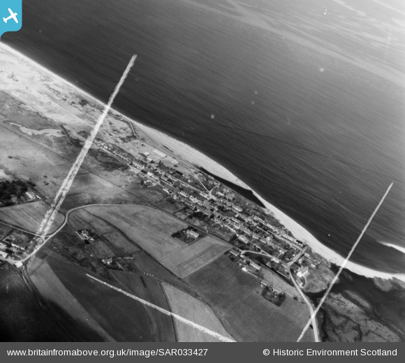
SAR033427 SCOTLAND (1958). General View St Andrews-Lhanbryd, Morayshire, Scotland. An oblique aerial photograph taken facing North/West. This image was marked by AeroPictorial Ltd for photo editing.
© Copyright OpenStreetMap contributors and licensed by the OpenStreetMap Foundation. 2026. Cartography is licensed as CC BY-SA.
Details
| Title | [SAR033427] General View St Andrews-Lhanbryd, Morayshire, Scotland. An oblique aerial photograph taken facing North/West. This image was marked by AeroPictorial Ltd for photo editing. |
| Reference | SAR033427 |
| Date | 1958 |
| Link | NRHE Collection item 1438619 |
| Place name | |
| Parish | URQUHART |
| District | MORAY |
| Country | SCOTLAND |
| Easting / Northing | 333715, 865546 |
| Longitude / Latitude | -3.1114897710238, 57.675137497347 |
| National Grid Reference | NJ337655 |
Pins

Matt Aldred edob.mattaldred.com |
Friday 5th of March 2021 05:01:57 PM | |
|
Matt Aldred edob.mattaldred.com |
Friday 5th of March 2021 05:01:33 PM | |
|
Matt Aldred edob.mattaldred.com |
Friday 5th of March 2021 05:00:57 PM | |

jrussill |
Wednesday 14th of January 2015 01:54:56 PM |
User Comment Contributions

WW2 Pillbox & Anti-tank blocks |
jrussill |
Wednesday 14th of January 2015 01:55:38 PM |