
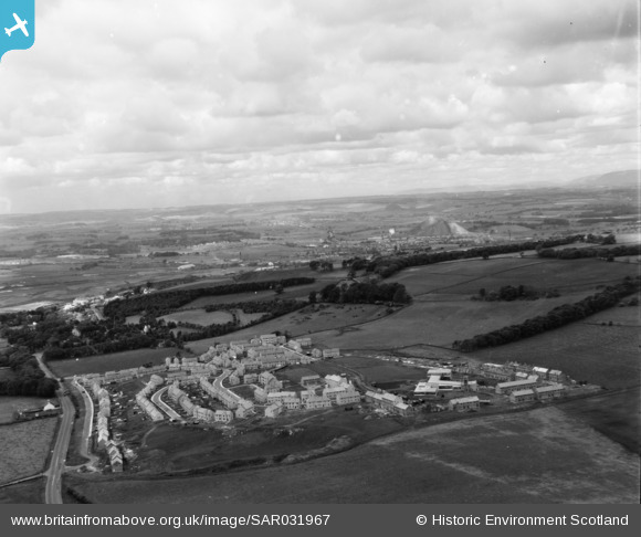
SAR031967 SCOTLAND (1958). New town East of Bathgate Bathgate, West Lothian, Scotland. An oblique aerial photograph taken facing West.
© Copyright OpenStreetMap contributors and licensed by the OpenStreetMap Foundation. 2026. Cartography is licensed as CC BY-SA.
Nearby Images (2)
SAR031967

SPW033573

Details
| Title | [SAR031967] New town East of Bathgate Bathgate, West Lothian, Scotland. An oblique aerial photograph taken facing West. |
| Reference | SAR031967 |
| Date | 1958 |
| Link | NRHE Collection item 1438583 |
| Place name | |
| Parish | BATHGATE |
| District | WEST LOTHIAN |
| Country | SCOTLAND |
| Easting / Northing | 299274, 668022 |
| Longitude / Latitude | -3.6108943555523, 55.894808008735 |
| National Grid Reference | NS993680 |
Pins

Emg |
Friday 5th of February 2021 04:26:56 PM |