
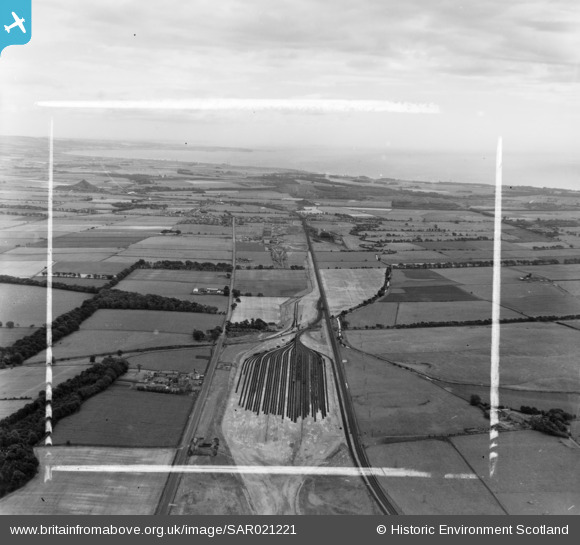
SAR021221 SCOTLAND (1954). National Coal Board Kirkcaldy and Dysart, Fife, Scotland. An oblique aerial photograph taken facing East. This image was marked by AeroPictorial Ltd for photo editing.
© Copyright OpenStreetMap contributors and licensed by the OpenStreetMap Foundation. 2025. Cartography is licensed as CC BY-SA.
Nearby Images (8)
SAR021221

SAR021222

SAR033548

SAR033549

SAR033550

SAR033551

SAR033552

SAR033553

Details
| Title | [SAR021221] National Coal Board Kirkcaldy and Dysart, Fife, Scotland. An oblique aerial photograph taken facing East. This image was marked by AeroPictorial Ltd for photo editing. |
| Reference | SAR021221 |
| Date | 1954 |
| Link | NRHE Collection item 1438294 |
| Place name | |
| Parish | KINGLASSIE |
| District | KIRKCALDY |
| Country | SCOTLAND |
| Easting / Northing | 326000, 697000 |
| Longitude / Latitude | -3.1915841185425, 56.159988766409 |
| National Grid Reference | NT260970 |
Pins

GTRN |
Sunday 24th of May 2020 02:05:09 PM | |
|
davey |
Saturday 3rd of January 2015 09:55:16 PM | |
|
davey |
Saturday 3rd of January 2015 09:54:14 PM | |
|
davey |
Saturday 3rd of January 2015 09:32:42 PM | |
|
davey |
Saturday 3rd of January 2015 09:21:47 PM | |
|
davey |
Saturday 3rd of January 2015 09:18:07 PM |
User Comment Contributions
Shows Thornton Marshalling Yard. There is a Canmore entry for this location. |

Class31 |
Monday 15th of September 2014 11:03:18 PM |