
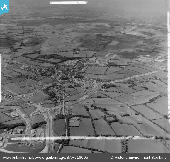
SAR016605 SCOTLAND (1952). East Kilbride Developmene Corporation, Torrance House East Kilbride, Lanarkshire, Scotland. An oblique aerial photograph taken facing North/West. This image was marked by AeroPictorial Ltd for photo editing.
© Copyright OpenStreetMap contributors and licensed by the OpenStreetMap Foundation. 2026. Cartography is licensed as CC BY-SA.
Nearby Images (14)
SAR016605

SAR016606

SAR016607

SAR016608

SAR016611

SAR023757

SAW022901

SAR024209

SAR024210

SAR024211

SAR024212

SAR024213

SAR027731

SAR027732

Details
| Title | [SAR016605] East Kilbride Developmene Corporation, Torrance House East Kilbride, Lanarkshire, Scotland. An oblique aerial photograph taken facing North/West. This image was marked by AeroPictorial Ltd for photo editing. |
| Reference | SAR016605 |
| Date | 1952 |
| Link | NRHE Collection item 1437935 |
| Place name | |
| Parish | EAST KILBRIDE (SOUTH LANARKSHIRE) |
| District | EAST KILBRIDE |
| Country | SCOTLAND |
| Easting / Northing | 263501, 654185 |
| Longitude / Latitude | -4.1756522403555, 55.761749318787 |
| National Grid Reference | NS635542 |
Pins
Be the first to add a comment to this image!