
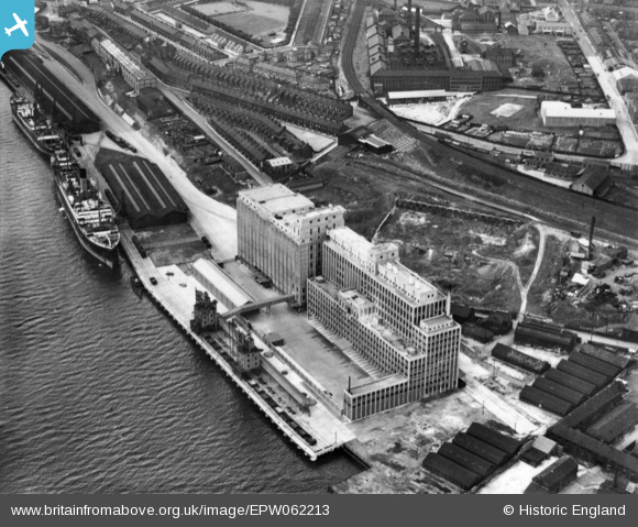
EPW062213 ENGLAND (1939). Spillers Ltd Tyne Flour Mill, Newcastle upon Tyne, 1939. This image has been produced from a print.
© Copyright OpenStreetMap contributors and licensed by the OpenStreetMap Foundation. 2026. Cartography is licensed as CC BY-SA.
Nearby Images (12)
EPW062213

EPW062212

EPW059920

EPW059921

EPW059919

EPW059923

EAW037003
 moored on the River Tyne opposite the South Shore Road Engineering Works, Byker, 1951. This image has been produced from a print.")
EAW037005
 moored on the River Tyne near the Tyne Mill, Byker, 1951. This image has been produced from a print.")
EAW037007
 moored on the River Tyne and the area around St Lawrence Park, Byker, 1951. This image has been produced from a print.")
EAW037006
 moored on the River Tyne, Byker, 1951. This image has been produced from a print.")
EPW059922

EAW037004
 moored on the River Tyne near the Tyne Mill, Byker, 1951. This image has been produced from a print.")
Details
| Title | [EPW062213] Spillers Ltd Tyne Flour Mill, Newcastle upon Tyne, 1939. This image has been produced from a print. |
| Reference | EPW062213 |
| Date | 15-July-1939 |
| Link | |
| Place name | NEWCASTLE UPON TYNE |
| Parish | |
| District | |
| Country | ENGLAND |
| Easting / Northing | 426920, 563695 |
| Longitude / Latitude | -1.5794703877067, 54.967075166851 |
| National Grid Reference | NZ269637 |
Pins
Be the first to add a comment to this image!