
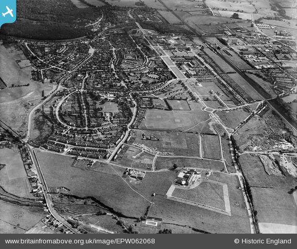
EPW062068 ENGLAND (1939). Handside and the town centre, Welwyn Garden City, from the south-west, 1939
© Copyright OpenStreetMap contributors and licensed by the OpenStreetMap Foundation. 2026. Cartography is licensed as CC BY-SA.
Nearby Images (6)
EPW062068

EPW047345

EPW047346

EPW062070

EPW062044

EPW062045

Details
| Title | [EPW062068] Handside and the town centre, Welwyn Garden City, from the south-west, 1939 |
| Reference | EPW062068 |
| Date | 28-June-1939 |
| Link | |
| Place name | WELWYN GARDEN CITY |
| Parish | |
| District | |
| Country | ENGLAND |
| Easting / Northing | 522784, 211804 |
| Longitude / Latitude | -0.21950625712338, 51.790947258554 |
| National Grid Reference | TL228118 |
Pins
Be the first to add a comment to this image!