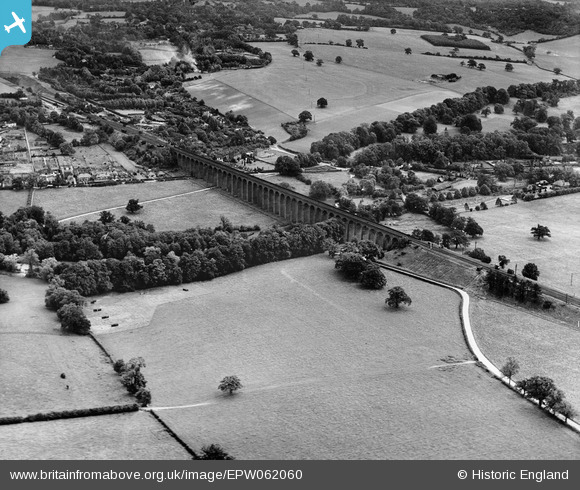
EPW062060 ENGLAND (1939). The Welwyn Viaduct, Digswell, 1939
© Copyright OpenStreetMap contributors and licensed by the OpenStreetMap Foundation. 2026. Cartography is licensed as CC BY-SA.
Nearby Images (2)
EPW062060

EPW062059

Details
| Title | [EPW062060] The Welwyn Viaduct, Digswell, 1939 |
| Reference | EPW062060 |
| Date | 28-June-1939 |
| Link | |
| Place name | DIGSWELL |
| Parish | WELWYN |
| District | |
| Country | ENGLAND |
| Easting / Northing | 524415, 214781 |
| Longitude / Latitude | -0.1947989529387, 51.817342841811 |
| National Grid Reference | TL244148 |