
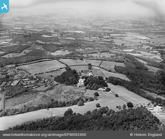
EPW061960 ENGLAND (1939). Birchwood Hall, Birchwood, from the south, 1939
© Copyright OpenStreetMap contributors and licensed by the OpenStreetMap Foundation. 2025. Cartography is licensed as CC BY-SA.
Nearby Images (6)
EPW061960

EPW061959

EPW061958

EPW061957

EPW061961

EPW061962

Details
| Title | [EPW061960] Birchwood Hall, Birchwood, from the south, 1939 |
| Reference | EPW061960 |
| Date | 8-June-1939 |
| Link | |
| Place name | BIRCHWOOD |
| Parish | CRADLEY |
| District | |
| Country | ENGLAND |
| Easting / Northing | 374924, 250066 |
| Longitude / Latitude | -2.3665150748902, 52.147902731726 |
| National Grid Reference | SO749501 |
Pins
Be the first to add a comment to this image!