
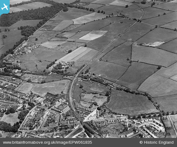
EPW061835 ENGLAND (1939). The Beeches and Watermoor, Cirencester, 1939
© Copyright OpenStreetMap contributors and licensed by the OpenStreetMap Foundation. 2026. Cartography is licensed as CC BY-SA.
Nearby Images (7)
EPW061835

EPW061832

EPW061834

EPW061833

EPW061836

EPW061837

EPW061786

Details
| Title | [EPW061835] The Beeches and Watermoor, Cirencester, 1939 |
| Reference | EPW061835 |
| Date | 8-June-1939 |
| Link | |
| Place name | CIRENCESTER |
| Parish | CIRENCESTER |
| District | |
| Country | ENGLAND |
| Easting / Northing | 403232, 201572 |
| Longitude / Latitude | -1.9532156653472, 51.712412218002 |
| National Grid Reference | SP032016 |
