
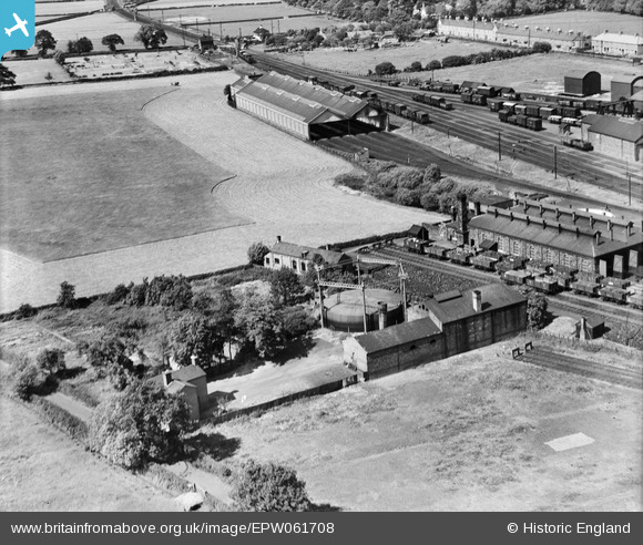
EPW061708 ENGLAND (1939). The Gas Works, Craven Arms, 1939
© Copyright OpenStreetMap contributors and licensed by the OpenStreetMap Foundation. 2026. Cartography is licensed as CC BY-SA.
Nearby Images (5)
EPW061708

EPW061704

EPW061707

EPW061706

EPW061705

Details
| Title | [EPW061708] The Gas Works, Craven Arms, 1939 |
| Reference | EPW061708 |
| Date | 10-June-1939 |
| Link | |
| Place name | CRAVEN ARMS |
| Parish | CRAVEN ARMS |
| District | |
| Country | ENGLAND |
| Easting / Northing | 343056, 283139 |
| Longitude / Latitude | -2.8378570156369, 52.442873250278 |
| National Grid Reference | SO431831 |
Pins

Allan |
Monday 2nd of March 2020 10:40:27 PM | |
|
Andrew Bennett |
Tuesday 29th of October 2013 11:24:41 PM | |
|
Andrew Bennett |
Tuesday 29th of October 2013 11:23:30 PM | |
|
Andrew Bennett |
Tuesday 29th of October 2013 11:20:40 PM | |
|
Andrew Bennett |
Tuesday 29th of October 2013 11:19:47 PM | |
|
Andrew Bennett |
Tuesday 29th of October 2013 11:18:13 PM |