
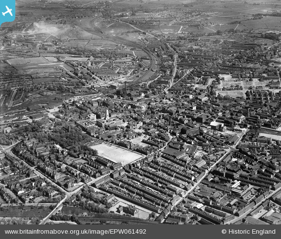
EPW061492 ENGLAND (1939). The town centre, Barnsley, from the north-west, 1939
© Copyright OpenStreetMap contributors and licensed by the OpenStreetMap Foundation. 2026. Cartography is licensed as CC BY-SA.
Nearby Images (3)
EPW061492

EPW055897

EPW021099

Details
| Title | [EPW061492] The town centre, Barnsley, from the north-west, 1939 |
| Reference | EPW061492 |
| Date | 2-June-1939 |
| Link | |
| Place name | BARNSLEY |
| Parish | |
| District | |
| Country | ENGLAND |
| Easting / Northing | 434057, 406562 |
| Longitude / Latitude | -1.4858624078648, 53.55433559294 |
| National Grid Reference | SE341066 |
Pins
Be the first to add a comment to this image!