
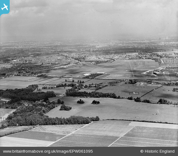
EPW061095 ENGLAND (1939). Heston Airport, Heston, from the west, 1939
© Copyright OpenStreetMap contributors and licensed by the OpenStreetMap Foundation. 2026. Cartography is licensed as CC BY-SA.
Nearby Images (4)
EPW061095

EPW060379

EPW031237

EPW061094

Details
| Title | [EPW061095] Heston Airport, Heston, from the west, 1939 |
| Reference | EPW061095 |
| Date | 20-May-1939 |
| Link | |
| Place name | HESTON |
| Parish | |
| District | |
| Country | ENGLAND |
| Easting / Northing | 510576, 177993 |
| Longitude / Latitude | -0.40714289199087, 51.489574290159 |
| National Grid Reference | TQ106780 |
Pins

brianbeckett |
Monday 13th of October 2014 12:46:16 PM | |
|
brianbeckett |
Monday 13th of October 2014 12:45:32 PM | |

Class31 |
Monday 21st of October 2013 09:16:32 AM | |
|
Class31 |
Monday 21st of October 2013 09:16:06 AM |