
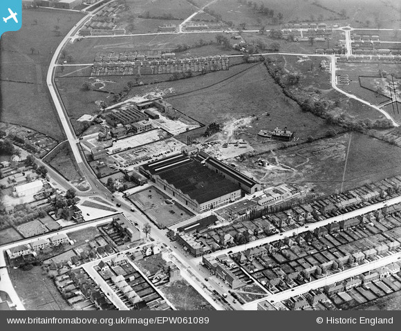
EPW061089 ENGLAND (1939). The Associated British Picture Corporation Ltd (ABPC) Film Studios, Borehamwood, 1939
© Copyright OpenStreetMap contributors and licensed by the OpenStreetMap Foundation. 2026. Cartography is licensed as CC BY-SA.
Nearby Images (40)
EPW061089
 Film Studios, Borehamwood, 1939")
EPW025490

EAW023317

EAW028292
 Studios on Shenley Road, Borehamwood, 1950")
EPW021913

EAW028073

EPW025492

EAW028294
 Studios on Shenley Road, Borehamwood, 1950")
EPW021912

EAW023318

EAW028072

EAW028075

EAW028289
 Studios on Shenley Road, Borehamwood, 1950")
EAW028293
 Studios on Shenley Road, Borehamwood, 1950")
EPW025493

EAW028071

EAW028291
 Studios on Shenley Road, Borehamwood, 1950")
EAW027906

EPW046576

EPW021914

EAW027912

EPW041247

EAW028070

EPW041245

EPW041248

EPW041243

EPW041244

EAW027910

EAW028290
 Studios on Shenley Road, Borehamwood, 1950")
EAW027904

EPW041242

EAW027907

EPW041246

EAW027909

EAW027908

EAW027903

EAW027905

EAW027914

EAW027911

EAW027913

Details
| Title | [EPW061089] The Associated British Picture Corporation Ltd (ABPC) Film Studios, Borehamwood, 1939 |
| Reference | EPW061089 |
| Date | 20-May-1939 |
| Link | |
| Place name | BOREHAMWOOD |
| Parish | ELSTREE AND BOREHAMWOOD |
| District | |
| Country | ENGLAND |
| Easting / Northing | 519811, 196804 |
| Longitude / Latitude | -0.26775782325811, 51.656771474055 |
| National Grid Reference | TQ198968 |
Pins

John W |
Wednesday 4th of September 2019 07:42:01 PM | |
|
John W |
Wednesday 4th of September 2019 07:41:06 PM | |
|
Gefferz |
Saturday 12th of January 2019 05:58:03 PM | |
|
Gefferz |
Saturday 12th of January 2019 05:51:26 PM | |
|
Tom |
Friday 25th of July 2014 07:17:13 AM | |
|
Tom |
Friday 25th of July 2014 07:17:10 AM |