
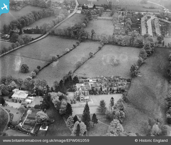
EPW061059 ENGLAND (1939). Oakleigh and environs, Stourbridge, 1939
© Copyright OpenStreetMap contributors and licensed by the OpenStreetMap Foundation. 2026. Cartography is licensed as CC BY-SA.
Nearby Images (7)
EPW061059

EPW061061

EPW061057

EPW061058

EPW061056

EPW061060

EPW061055

Details
| Title | [EPW061059] Oakleigh and environs, Stourbridge, 1939 |
| Reference | EPW061059 |
| Date | 16-May-1939 |
| Link | |
| Place name | STOURBRIDGE |
| Parish | |
| District | |
| Country | ENGLAND |
| Easting / Northing | 390295, 282871 |
| Longitude / Latitude | -2.1427967334305, 52.44334517157 |
| National Grid Reference | SO903829 |
Pins

Mr Jauncey |
Wednesday 28th of August 2013 03:37:17 PM | |
|
Mr Jauncey |
Wednesday 28th of August 2013 03:36:40 PM |