
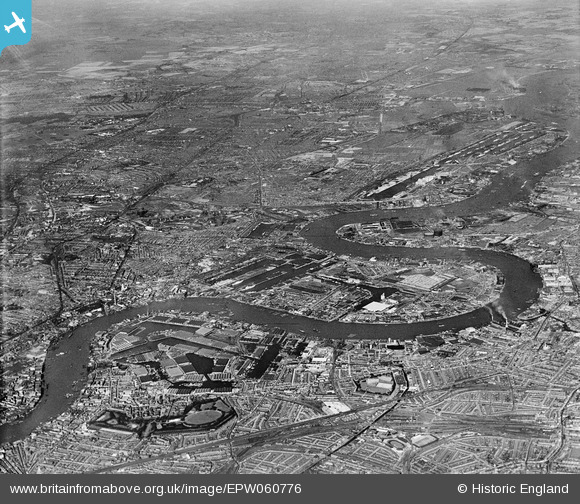
EPW060776 ENGLAND (1939). The River Thames and surrounding city from Rotherhithe towards the Royal Docks, Isle of Dogs, from the south-west, 1939
© Copyright OpenStreetMap contributors and licensed by the OpenStreetMap Foundation. 2026. Cartography is licensed as CC BY-SA.
Nearby Images (13)
EPW060776

EPW006141

EAW045674

EAW045678

EAW045673

EAW045675

EAW045679

EAW045677

EAW045680

EAW045810

EAW045807

EAW045812

EAW045676

Details
| Title | [EPW060776] The River Thames and surrounding city from Rotherhithe towards the Royal Docks, Isle of Dogs, from the south-west, 1939 |
| Reference | EPW060776 |
| Date | 12-April-1939 |
| Link | |
| Place name | ISLE OF DOGS |
| Parish | |
| District | |
| Country | ENGLAND |
| Easting / Northing | 537059, 179500 |
| Longitude / Latitude | -0.025287679262024, 51.49731842875 |
| National Grid Reference | TQ371795 |
Pins

John W |
Wednesday 28th of September 2016 04:20:52 PM | |
|
John W |
Wednesday 28th of September 2016 04:20:20 PM | |
|
John W |
Wednesday 28th of September 2016 04:19:52 PM | |
|
moses72 |
Saturday 31st of August 2013 02:26:25 PM | |
|
moses72 |
Saturday 31st of August 2013 02:24:45 PM | |
|
moses72 |
Thursday 29th of August 2013 11:04:03 AM | |
|
moses72 |
Thursday 29th of August 2013 11:03:12 AM | |

Alan McFaden |
Sunday 4th of August 2013 10:37:44 PM | |
|
Alan McFaden |
Sunday 4th of August 2013 10:36:20 PM |

