
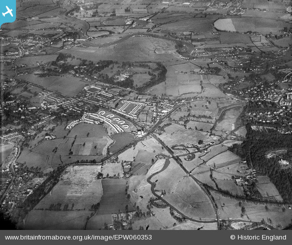
EPW060353 ENGLAND (1939). The Black Boy Works, Woburn Farm and environs, Hamm Moor, from the south-east, 1939
© Copyright OpenStreetMap contributors and licensed by the OpenStreetMap Foundation. 2026. Cartography is licensed as CC BY-SA.
Nearby Images (2)
EPW060353

EPW060351

Details
| Title | [EPW060353] The Black Boy Works, Woburn Farm and environs, Hamm Moor, from the south-east, 1939 |
| Reference | EPW060353 |
| Date | 12-January-1939 |
| Link | |
| Place name | HAMM MOOR |
| Parish | |
| District | |
| Country | ENGLAND |
| Easting / Northing | 506262, 164044 |
| Longitude / Latitude | -0.47344715461063, 51.3650083055 |
| National Grid Reference | TQ063640 |
Pins

rjb1 |
Saturday 15th of February 2020 07:13:56 PM |