
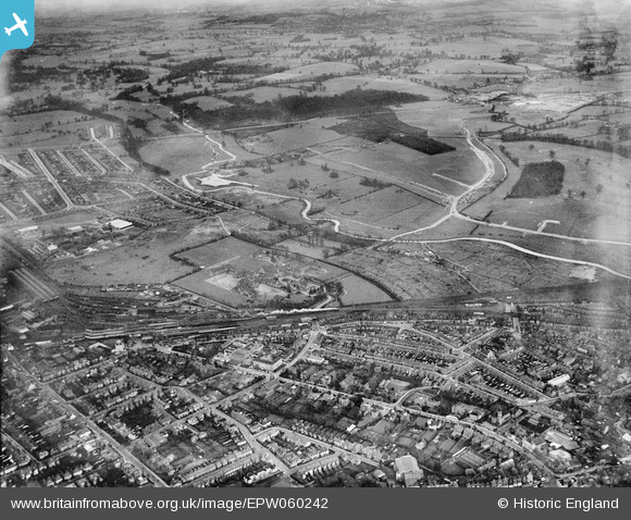
EPW060242 ENGLAND (1938). The London Orphan School, River Colne and environs, Watford, 1938
© Copyright OpenStreetMap contributors and licensed by the OpenStreetMap Foundation. 2026. Cartography is licensed as CC BY-SA.
Nearby Images (3)
EPW060242

EPW060248

EAW048783
 and North Watford, Watford, from the south-east, 1953")
Details
| Title | [EPW060242] The London Orphan School, River Colne and environs, Watford, 1938 |
| Reference | EPW060242 |
| Date | 15-December-1938 |
| Link | |
| Place name | WATFORD |
| Parish | |
| District | |
| Country | ENGLAND |
| Easting / Northing | 511552, 197318 |
| Longitude / Latitude | -0.38695052274641, 51.663091812977 |
| National Grid Reference | TQ116973 |
Pins

OldBill |
Tuesday 3rd of December 2019 08:24:16 PM | |
|
OldBill |
Monday 22nd of July 2019 08:54:58 PM | |
|
OldBill |
Monday 22nd of July 2019 08:53:31 PM | |
|
OldBill |
Monday 22nd of July 2019 08:51:59 PM | |
|
OldBill |
Monday 22nd of July 2019 08:51:40 PM | |
|
OldBill |
Monday 22nd of July 2019 08:50:22 PM | |
|
Bluid |
Saturday 6th of September 2014 08:12:08 PM |