
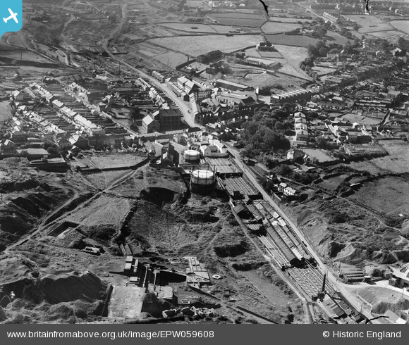
EPW059608 ENGLAND (1938). Tolgarrick Road, Chapel Road and the village, Tuckingmill, 1938
© Copyright OpenStreetMap contributors and licensed by the OpenStreetMap Foundation. 2026. Cartography is licensed as CC BY-SA.
Nearby Images (2)
EPW059608

EPW009936

Details
| Title | [EPW059608] Tolgarrick Road, Chapel Road and the village, Tuckingmill, 1938 |
| Reference | EPW059608 |
| Date | September-1938 |
| Link | |
| Place name | TUCKINGMILL |
| Parish | CARN BREA |
| District | |
| Country | ENGLAND |
| Easting / Northing | 166052, 41200 |
| Longitude / Latitude | -5.2802617805203, 50.223832684156 |
| National Grid Reference | SW661412 |
