
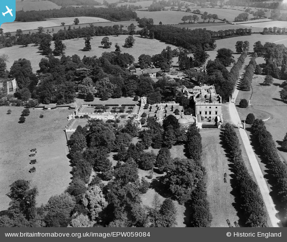
EPW059084 ENGLAND (1938). Copped Hall, Copthall Green, 1938
© Copyright OpenStreetMap contributors and licensed by the OpenStreetMap Foundation. 2026. Cartography is licensed as CC BY-SA.
Nearby Images (2)
EPW059084

EPW059085

Details
| Title | [EPW059084] Copped Hall, Copthall Green, 1938 |
| Reference | EPW059084 |
| Date | 2-September-1938 |
| Link | |
| Place name | COPTHALL GREEN |
| Parish | WALTHAM ABBEY |
| District | |
| Country | ENGLAND |
| Easting / Northing | 542955, 201470 |
| Longitude / Latitude | 0.068555386227296, 51.693291845241 |
| National Grid Reference | TL430015 |
Pins
Be the first to add a comment to this image!