
EPW058982 ENGLAND (1938). Wroughton House and environs, Wroughton, 1938

© Copyright OpenStreetMap contributors and licensed by the OpenStreetMap Foundation. 2026. Cartography is licensed as CC BY-SA.
Nearby Images (3)
EPW058982

EPW058981

EPW058983

Details
| Title | [EPW058982] Wroughton House and environs, Wroughton, 1938 |
| Reference | EPW058982 |
| Date | 30-August-1938 |
| Link | |
| Place name | WROUGHTON |
| Parish | WROUGHTON |
| District | |
| Country | ENGLAND |
| Easting / Northing | 413867, 180261 |
| Longitude / Latitude | -1.8001145292881, 51.520615750528 |
| National Grid Reference | SU139803 |
Pins


User Comment Contributions
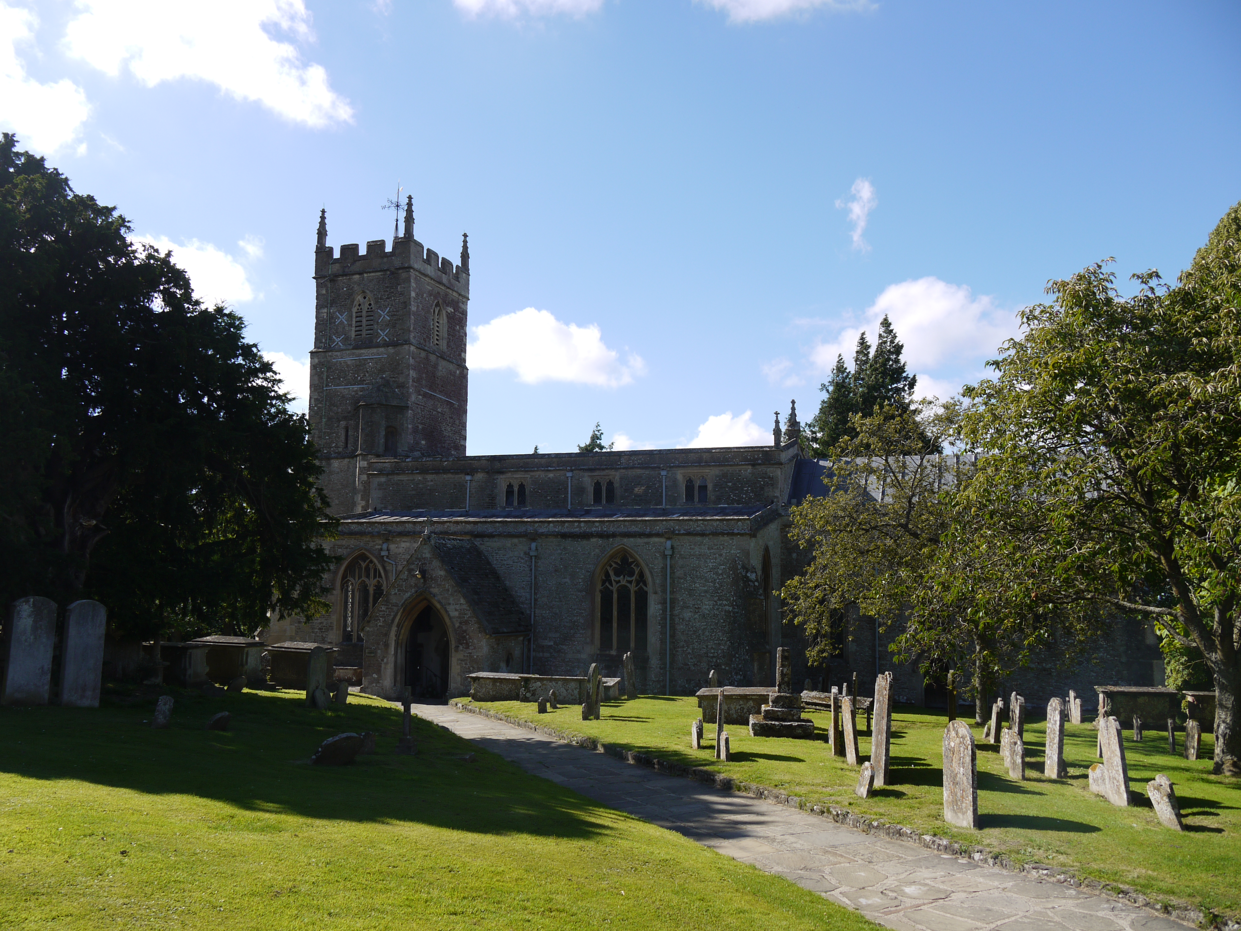
Parish Church of St. John and St. Helen, Wroughton, 17/07/2016 |

Class31 |
Wednesday 20th of July 2016 08:52:08 PM |